The continental US has been the wettest it has ever been in the last 124 years. The last 12 months, from May 1st, 2018 to April 30th, 2019, has seen high levels of rainfall.
Due to the increased amount of this rainfall, the US has no severe droughts for the first time in two decades. Much of the rain comes from extreme weather patterns including hurricanes, bomb cyclones, atmospheric rivers and El Niño.
In this time period, 36.2 inches of rainfall was recorded for the continental US. This is 6 inches more than the previous record years of 2015 and 2016.
That Doesn’t Sound Like Much
In many parts of the US, residents will certainly think they have seen more rain than this and they are correct. However, this number is an average for the country.
What this means is if you looked at all 48 states of the continental US, each state would have 36.2 inches of water covering them.
To put this into perspective, 1 inch of rain in 1 square mile results in 17,380,000 gallons of water. The continental US is 3,119,884.69 square miles, which means approximately 54,223,595,000,000 gallons of rainwater for each inch of rainfall.
That’s a lot of water.
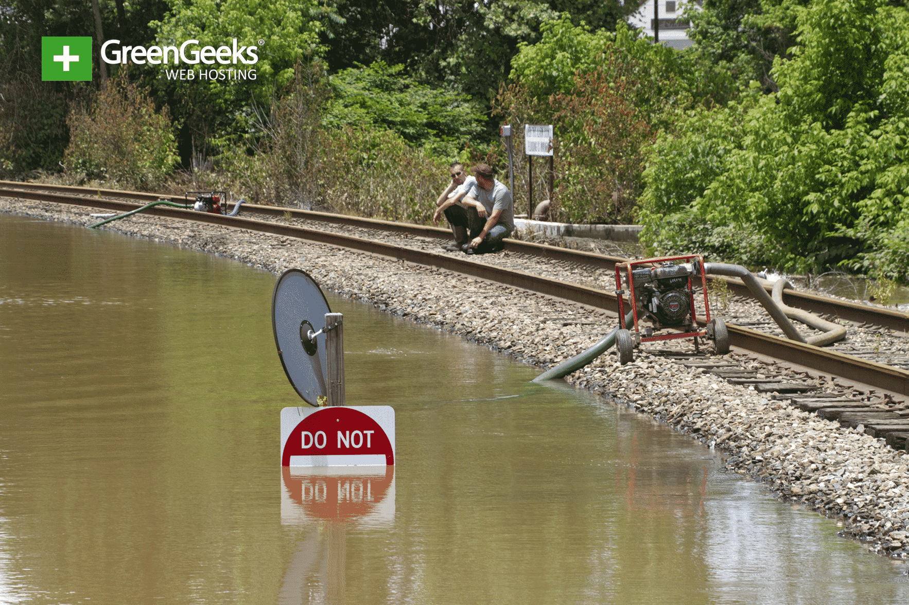
Now, take into consideration how these phenomena has lead to people being displaced from their homes due to heavy flooding. Although more water is ideal to prevent droughts, too much can cause serious issues in the United States.
Why Is Rainfall So Much Higher

Now that we have established that the extra 6 inches of rainfall are a very big deal, let’s discuss the causes. As I said at the beginning, extreme weather patterns like hurricanes, bomb cyclones, atmospheric rivers and the El Niño phenomenon are to blame.
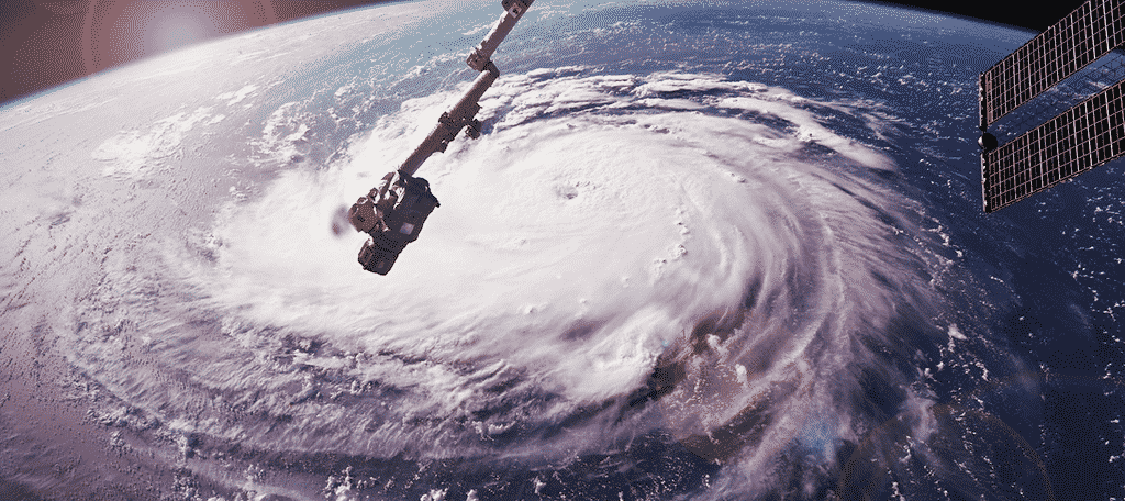
In this time period, both hurricane Michael and Florence struck the US. When hurricanes strike, they bring destruction and rain. These hurricanes dropped enormous amounts of water on the landscape.
The term “Bomb Cyclone” is not very well known. To put it simply, they are essentially winter hurricanes. As you would expect, they bring a lot of rainfall as well.
Another relatively unknown weather phenomenon are atmospheric rivers. An atmospheric river is best thought of as a river in the sky. It is a long narrow region in the atmosphere that transports water vapor out of the tropics. When it reaches land, large amounts of water is released.
Finally, El Niño is a rare weather phenomenon, that brings heavy rainfall in the Pacific. However, due to the effects of climate change, it is becoming more common.
A Wetter Future
The amount of rainfall has been increasing over the years, and as more extreme weather patterns form, the trend will continue. The increasing temperature is making it easier for these patterns to form.
They are becoming more frequent and intense as the oceans warm.

